

Columbia Falls Land Use Plan
The City of Columbia Falls Land Use Plan Update is a comprehensive planning effort designed to guide the community’s growth and development, in alignment with the Montana Land Use Planning Act. This project responds to increasing growth pressures while preserving the city’s unique character, natural resources, and quality of life.
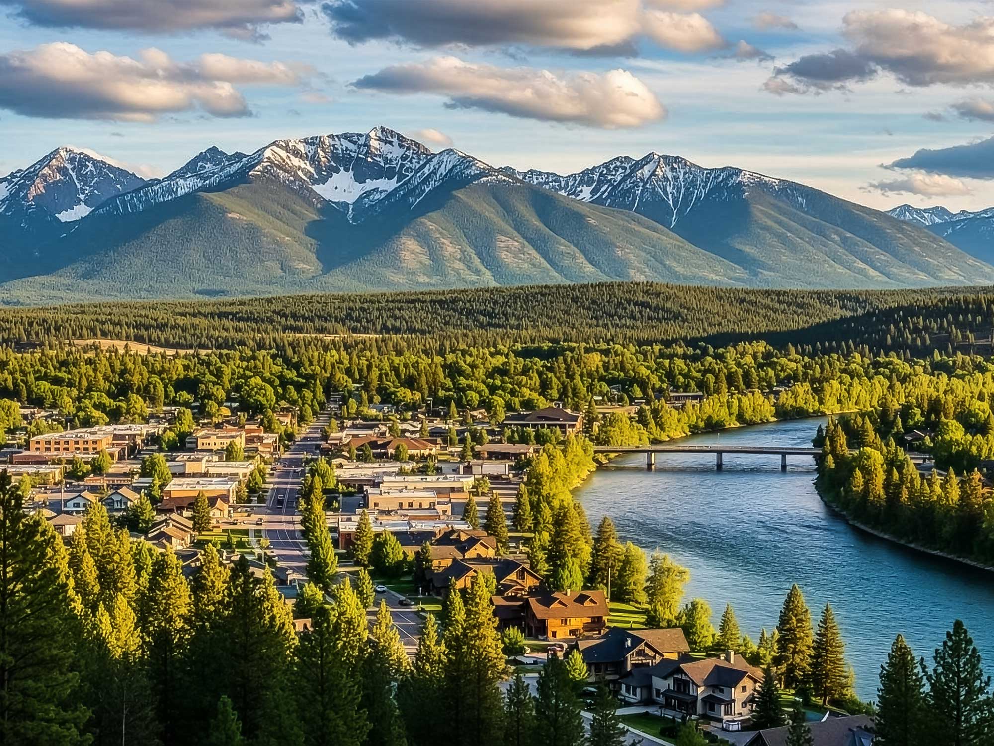
Positioned at the gateway to Glacier National Park and experiencing steady population growth, Columbia Falls faced critical challenges related to housing demand, limited infill capacity, infrastructure expansion, and annexation. The objective was a forward-looking land-use framework that addressed these challenges while supporting sustainable, well-coordinated development across residential, commercial, industrial, and mixed-use areas. The Land Use Plan Update integrated key findings from the City’s 2025 Housing Study and ongoing infrastructure planning efforts, including water and sewer system evaluations. Through data-driven analysis and extensive stakeholder engagement, the project established a clear vision for future growth while ensuring compliance with state requirements.
Cushing Terrell led a robust and inclusive community engagement process designed to capture input from residents, businesses, property owners, nonprofit organizations, and public agencies through surveys, workshops, open houses, focus groups, and online tools. This engagement strategy emphasized equity, accessibility, and transparency to ensure the plan reflected diverse community perspectives and built broad-based support.
LOCATION
Columbia Falls, MT